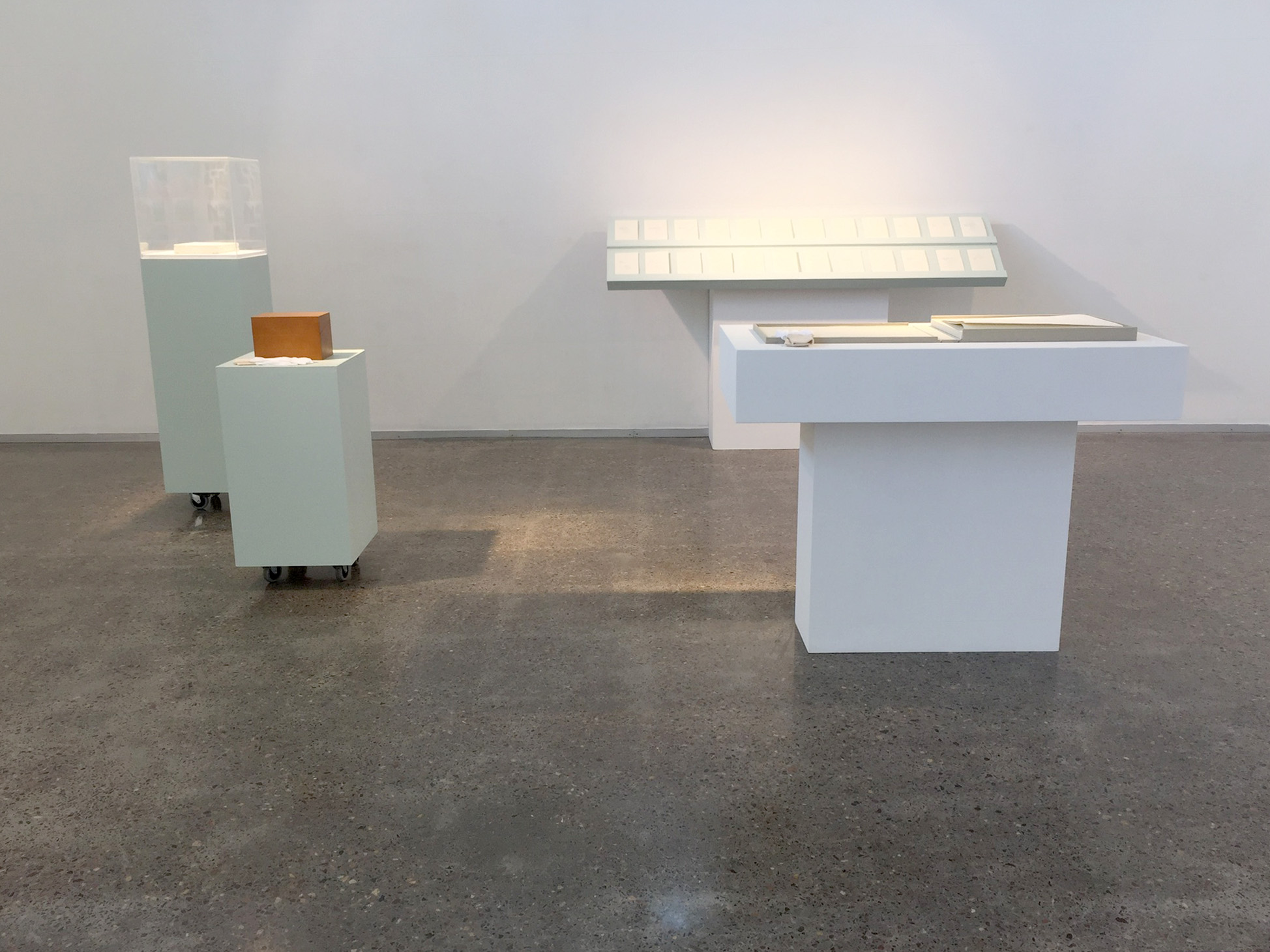
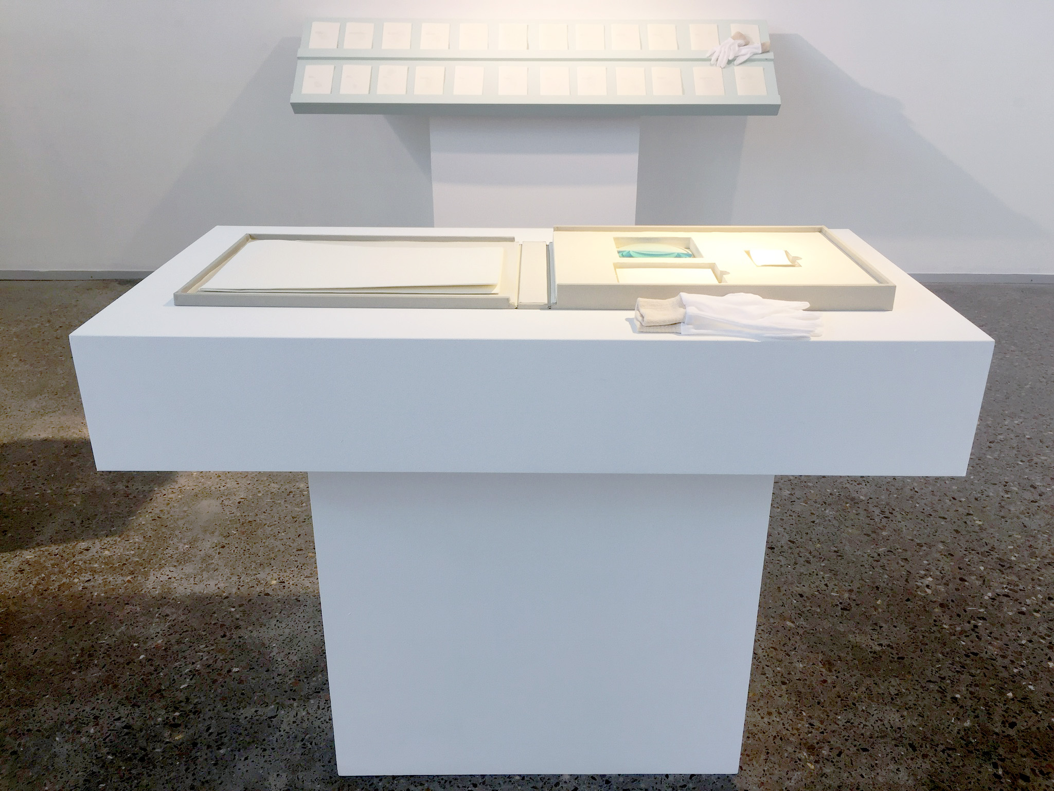
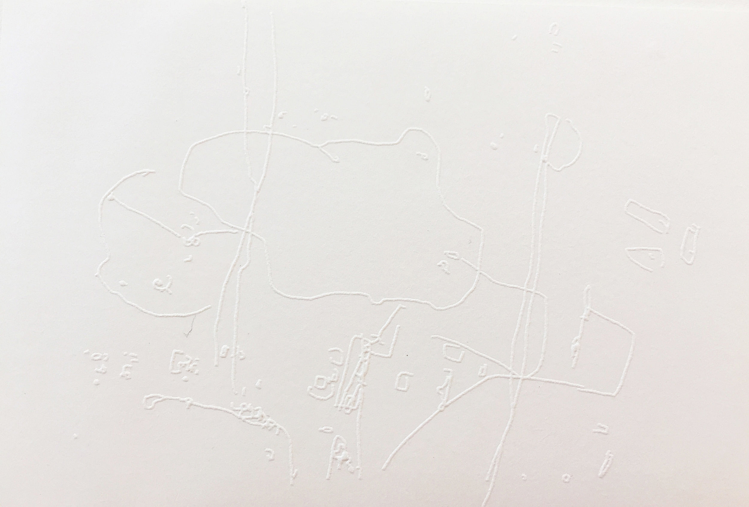
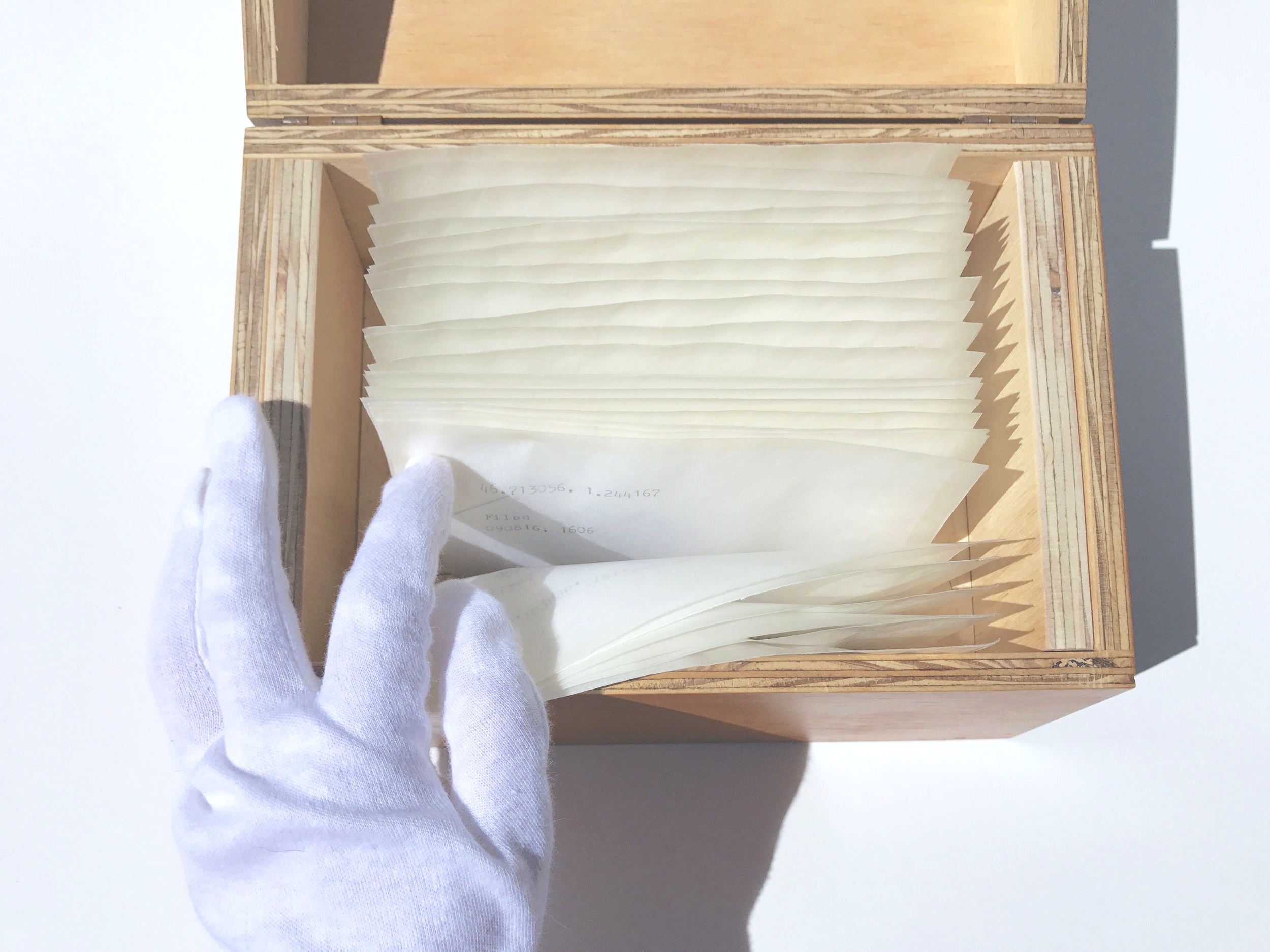
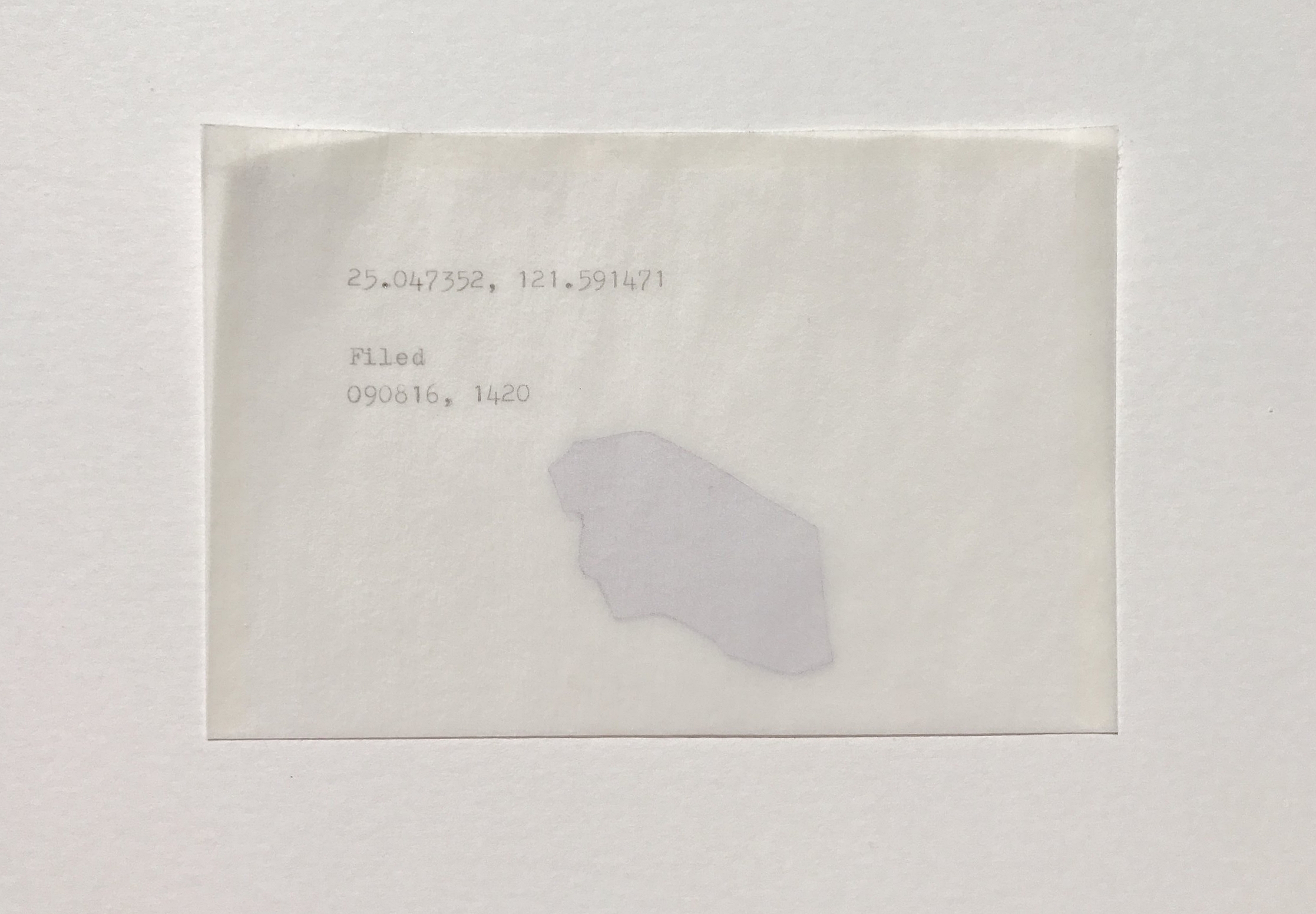

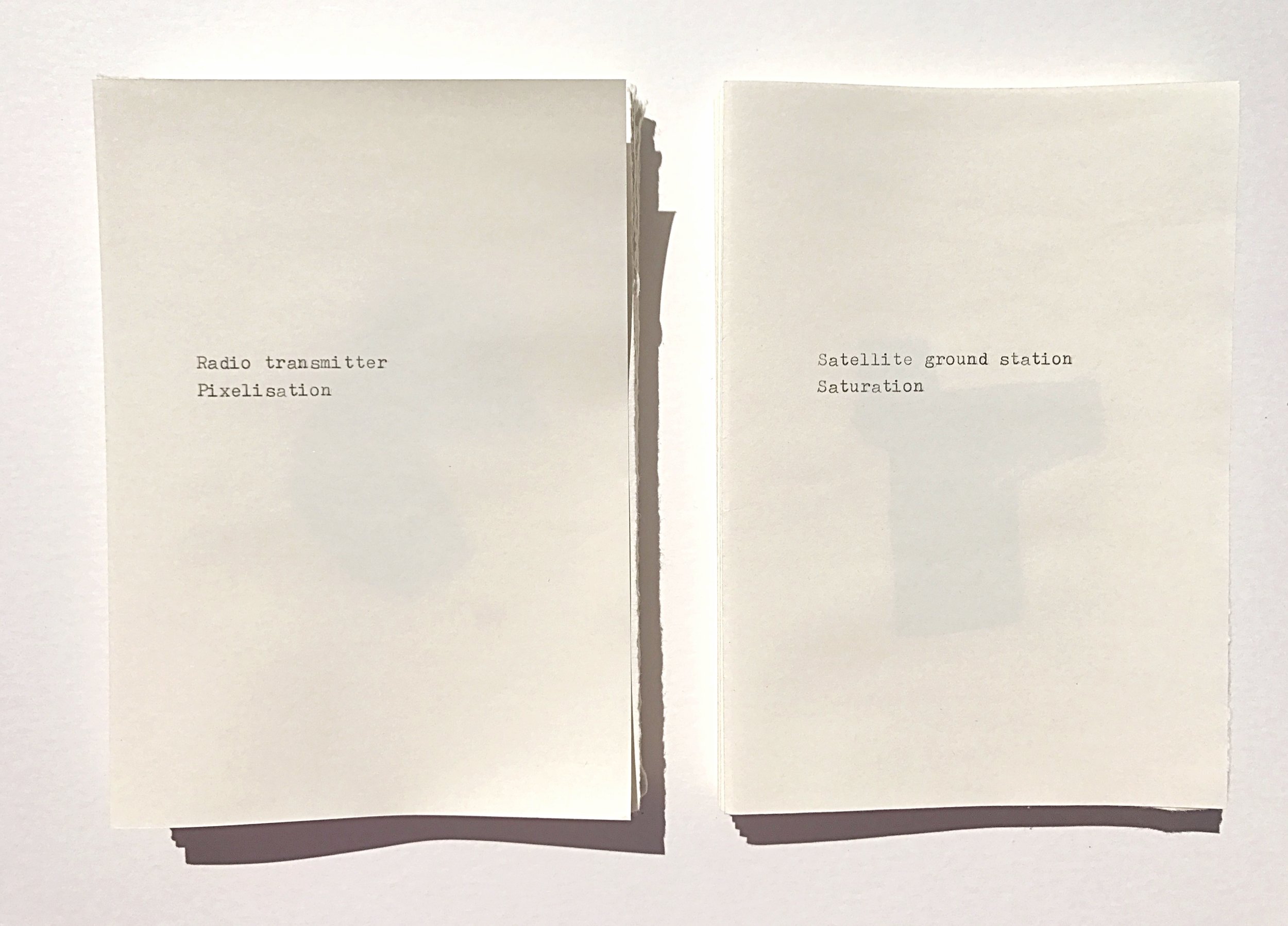
Atlas obscuranta// Hand guide to the opaque
Mixed media, artist books, plaster, etchings, blind embossing.
Dimensions variable, 2016.
Is the reworking of Google satellite data, 24 images were cropped from Google satellite mapping where censorship was present. The information was then appropriated, reconfigured and filed within the work through blind drawing and redistribution and compilation of data. This work attempts to obscure the readers’ ability to navigate the information fluently imitating the act of censorship that frustrates the principle devices of seeing. The notion of the tabula rasa or reduction of information fails to erase the information completely eventuating in a frustration between the seeing knowing dyad. These maps, which have been blind drawn and reiterated through the multiple, are both visually blind and visually present. They conduct the way a map sees everything and potentially nothing all the same. The whole idea brings to mind the old parable about the blind leading the blind; these maps are not capable of the guidance the generalised map assumes to give, rather they are statements towards a particular way of seeing within the world; that sight has become an approved way of apprehending reality. Thus it is this reality we need reminding of - the way we access information, understand it, become blind to it. These maps then become the ultimate reference guide as to how we do and do not see.